Integrating Knowledge with Geospatial Digital Twins
Technology
Software Development
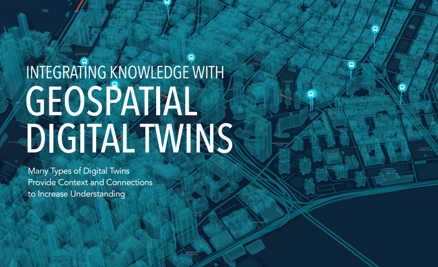
Geospatial digital twins integrate GIS, BIM, and real-time data to model infrastructure, cities, and nature. Test scenarios, optimize operations, and plan sustainably for the future.
Provided by: